Our second annual Thanksgiving RVenture took us to Fort Flagler State Park. I can't remember exactly how we decided on this park other than it offered hookups, and we surely didn't want a repeat of last year's mishap of cold, drained batteries and a trip cut short. We also wanted a park that offered a good amount of hiking trails, and those things pointed us to Fort Flagler.

The first thing we noticed was that the sign was green, unlike the other state park signs which have all typically been brown. Hmmm. Now I have to investigate whether or not there is a deeper meaning to this, like I don't have enough to do what with all this vacationing and blogging.

Only the lower campground is open and reservations aren't taken this time of year. We drove slowly around the loops twice, scoping out the available sites. It wasn't crowded, but there were plenty of other campers about for the holiday weekend. Rather than park in the more obvious choices available nearer the water and the views, we chose a spot at the end of the loop nearer the trees.

It felt a lot more private, and definitely a lot less windy in space #70.

The view of the Olympic Mountains we didn't choose.

An eagle enjoying the view as well.
Thanksgiving Day was rainy and windy, and our only activity plans were a walk around the campground and an early dinner. On our walk, we met a nice lady with a couple of Corgis, one an older girl with wheels supporting her back legs, and one a 3-month old pup. Oh, you bet I petted them a whole lot, missing my Zuzu who was still with us last Thanksgiving.
After our feast of thanks, TBG read and I worked on my puzzle books, then we snuggled in to watch Schindler's List on our state-of-the-art VCR and stuff our faces with pumpkin pie. I'm sure we're the last ones in the free world to have seen this movie, and I'm surprised very little of it had been spoiled for us prior. It might not seem like a good holiday movie, but if you want to talk about all forms of thankfulness, well...

After a very windy and rainy night, Friday morning dawned clear. We took our morning walk around this little spit that juts out in between Kilisut Harbor and Port Townsend Bay.

I spotted this shaggy-looking heron looking across the bay to Port Townsend.

TBG spotted a bunch of harbor seals bouncing around out there.

It may appear as if I'm just standing there observing, but really I was hooting and dancing a little to make the seals pop up and look our way. It scares the birds, but the seals like it.

My aging eyes foiled my ability to focus the camera properly, and this picture of what I thought were coots, turned out to be less-common Harlequin Ducks.

A cormorant resting by some scary-looking spikes.
After breakfast, we set off for a long walk all around the park. We started in the closed upper campground.

A little observation deck and stairway access to a small stretch of beach. The sun was wonderful, and we paused several times along the way to roll up our sleeves and turn our faces into it because, when you live in the gloomy PNW, that's what you do.

Being an old WWI fort, there are, of course, several defunct buildings. This was an old searchlight housing, its former function less interesting to me than its rooftop now festooned with native vegetation. This fort was built almost 100 years ago, and as we walked around we reminded ourselves that most of the trees did not even exist then, and the trails we were enjoying wouldn't have looked anything like they do now.

One of the batteries along the shoreline. TBG would've looked through the gun barrel, but someone had shoved a plastic pop bottle way down into it, making that impossible. Some people sure are fun.

Remember the creepy tunnels and rooms from Cape Disappointment? Well, here's some more for ya.

Shiver.

I practiced my Zombie Apocalypse tunneling skillz.

We made our way back to camp via the Bluff Trail, which dropped us off right at Arvie.
We had our second Thanksgiving meal of leftovers -- because that's what you do.

Then, because we knew the sun wasn't making an encore appearance the following day, we took another walk down to the spit and around the campground.
The evening's activities were again reading, puzzling, and a movie, this time another feel-good feature, Hamburger Hill.
The rain started shortly after sundown, and continued all night, drumming on the roof of the RV and lulling us to sleep.
It was still rainy and gray Saturday morning, and we started the day slowly with a few leftover biscuits and pie in bed because that's what you do.

We don't allow the rain to boss us around, and we headed out on the Wilderness Trail later in the morning.

Low-light camera trouble trying to capture this big buck. Or maybe it was my eyes again. This reminds me that since our eyes are more similar to a video camera rather than a still camera, I should try a short video in low-light situations. Why didn't I think of this then?!

It had no trouble accidentally capturing this photo of our feet.

There were several connector trails that joined the south end of the park with the Bluff Trail at the north. They all pretty much looked like this, very green.

Unintentionally camouflaged.

A shock of Orange Peel Fungus.

I don't know what this is, but we thought it was cool-looking. Usually I Google to find the answers, but with this one, all my search parameters are bringing up lots of green toenail fungus, so unless one of you knows what this is, it shall remain a mystery for now.
The rest of the afternoon and evening was spent doing those aforementioned activities we do, eating most of the rest of the pie, taking a short walk around the campground before sunset, and then completing the trifecta of uplifting holiday movies with Full Metal Jacket. So relaxing!

Sunday morning brought partially clear skies, and the sun lit up the tops of the Olympics above the cloud line.

Beautiful sunrise sky.

Eagle making her morning observations.

A Herring Gull (probably) shiny-clean after its morning bath in a freshwater puddle.

Goodbye, Fort Flagler!
On our drive home, we made a few other stops.

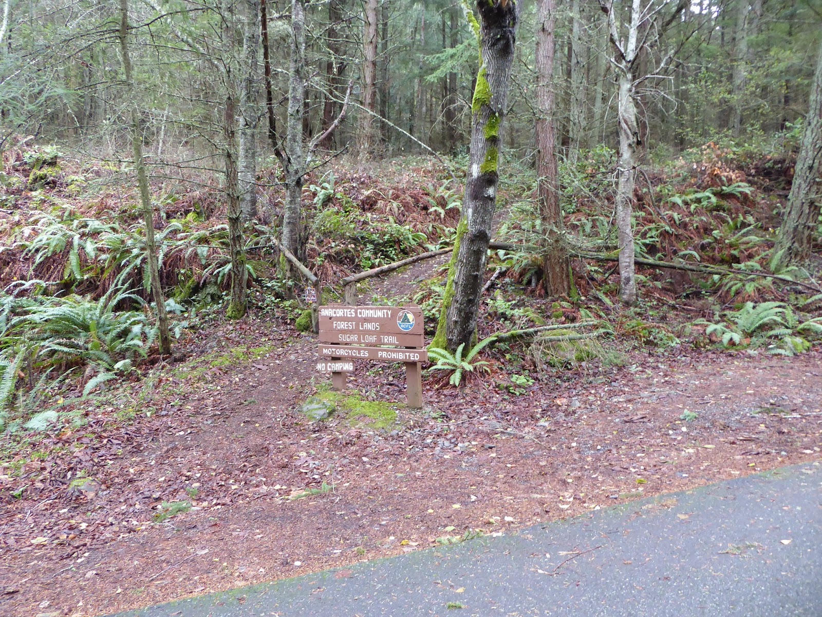
We drove through this park which, unless you're going boating or need to make a quick pit stop, that's really all you can do here. (another green sign!)

And we stopped at this park, which not only didn't merit its own formal brown or green state park sign, got only this metal street-sign type designation. This park, as we now know, is used for its clam and oyster flats when they're in season.

Fortunately, we did not try to drive down to where the sign was located since the road was one big pothole, but parked up above on the boat launch access road.

Last stop was this pretty little park, that did offer camping, but isn't someplace that we would've enjoyed for that. It was very well-kept, though, and I can see the appeal for folks during shellfish season.

We took a short walk down to the water and along a very small section of beach. There is apparently a 1.5 mile trail across the road, but we were unaware of it at the time.
The rest of the drive home was blessedly uneventful, the holiday traffic not being too very terrible. We passed a road along the way named Egg and I Road. I wrote that down in my notes because what the heck?
Note on my notes: I take 'em during each and every trip. What, you think I just remember all this? I'm flattered. Not to tarnish your image of me even further, but I don't always know the names of things we see along the way, and I spend a lot of time looking things up when I sit down to blog -- flora, fauna, geography, history. I by no means intend this blog to be a lesson in any of those things (blech!) I strive only to be accurate when I label or write about them.
So, back to Egg and I road. I just
looked that up. Turns out, it is named for a 1946 autobiographical book
written by Betty MacDonald about her experiences running a chicken ranch
there. A chicken ranch?! Did I just place a hold on this book at my
local library? Yes.
Because it's what I do.